

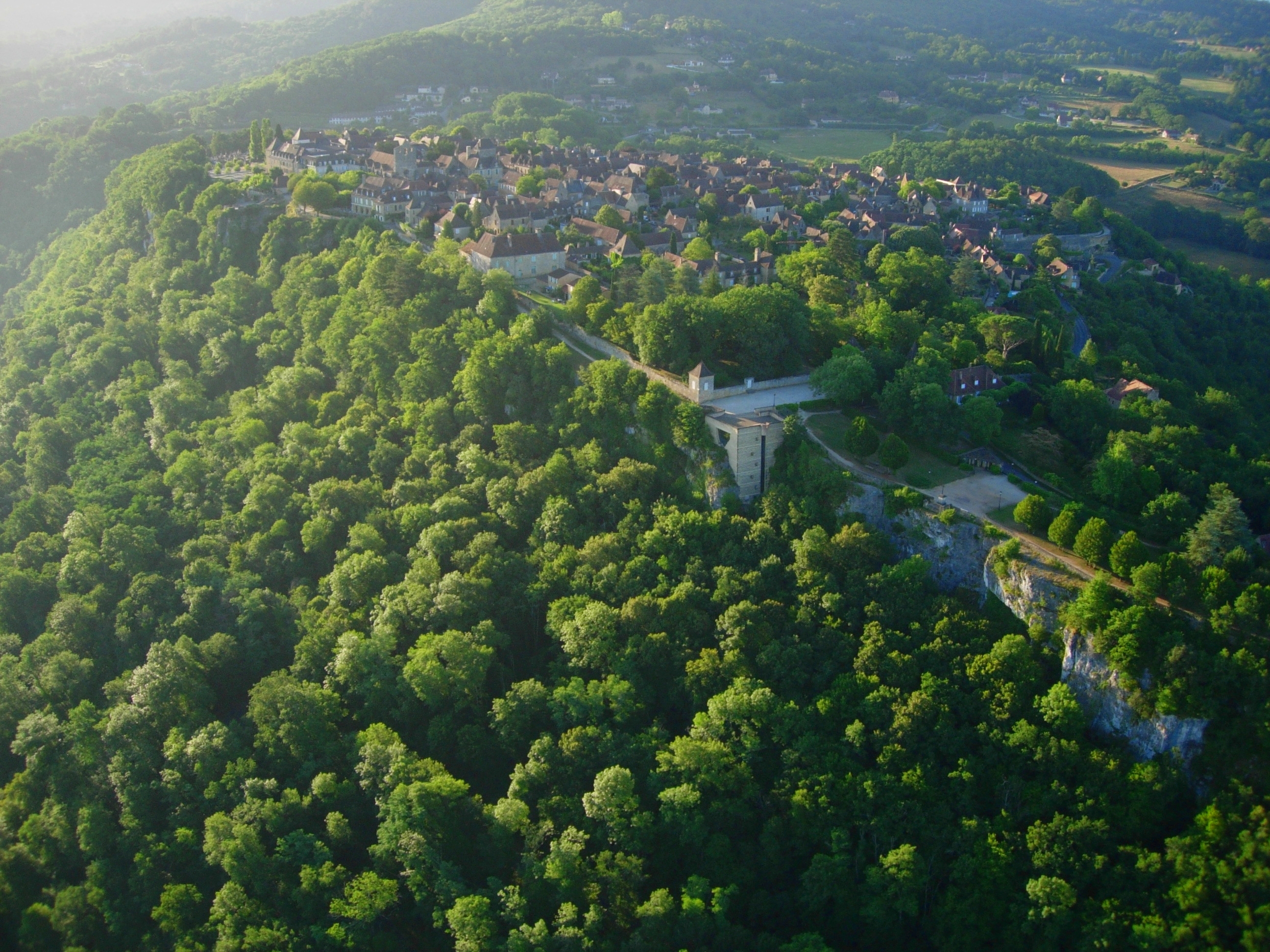
 I've really appreciated seeing what others have done with software solutions for their mapmaking. Someday I might use one myself, but for now I actually enjoy sketching something out and coloring it in... Although in this case, because the location is a real one, I used Google Earth as a guide. I realize it looks like it was done in crayon, but it's actually just color pencil magnified. If you'd like to see the Google Earth view, you can download the .kmz file here and open it - it's centered on Marquessac, but if you zoom out to about 40,000 feet elevation, you should be able to see the resemblance. Of course, you'll also be able to zoom and see pictures of Beynac, Castelnaud, and other features there.
It's a strange map, unlike any I've ever made or used for a campaign - there aren't any mountains per se, although unusual heights including the famous cliffs along the Dordogne* are indicated in brown, as are the buttes of Marquessac and the bastide Domme (warning: big picture). But the main thing that's odd to me about it is the extremely small scale. There are four castles within about twelve miles of each other. This seems ridiculous, but it's due to the unique actual history of the location, the site of the border between two warring factions, with two of the castles facing within spitting distance of one another across the river.
The distances are small, and the populations will be as well, with the largest town in the area (Sarlat) having only a few thousand inhabitants at most. I see the setting as beginning to rebound from previous wars and plagues. Wilderness that has re-encroached the settlements is littered with ruins of an earlier time, and there's more than the usual amount of monsters and bandits about. It's unsafe to stray even a mile from the walled towns and castle protected villages.
I've yet to really flesh out the larger world outside of this small area, but I see it as more or less a Dark Ages setting. It's the great surrounding wilderness that makes the Dordogne area a serious backwater in our game. Because of the river making this less feasible, the larger map will quickly become less historical outside of the area depicted here - mountains spring up, and waterfalls reduce the river's ability to serve as a trade or travel route. Our current S&W campaign world lies to the northwest of this locale by perhaps a month's travel by horseback.
For the record, I'm not aiming for hyper-accuracy here - this was originally begun as a way to help entice my wife to begin a solo-game, and it only needs to be as accurate as our memory serves us. Anything more than that is just a bonus.
* pronounced dôr-dōnyə but "dor-doine" by locals.


1 comments:
Oh, cool. I have a Sarlat in one of my settings, too.
--Cool stuff, ZB. :D
Post a Comment